Hikes
Lac de Louvie, Val de Bagnes
Difficulty: Medium to strenuous
Elevation of Lac de Louvie: 2213m
Route 1: Fionnay > Lac de Louvie loop - 7.8km - Approx 4-4.5hr
Route 2: Ruinettes > La Chaux > Lac de Louvie > Fionnay - 14.9km - Approx 5.5hrs
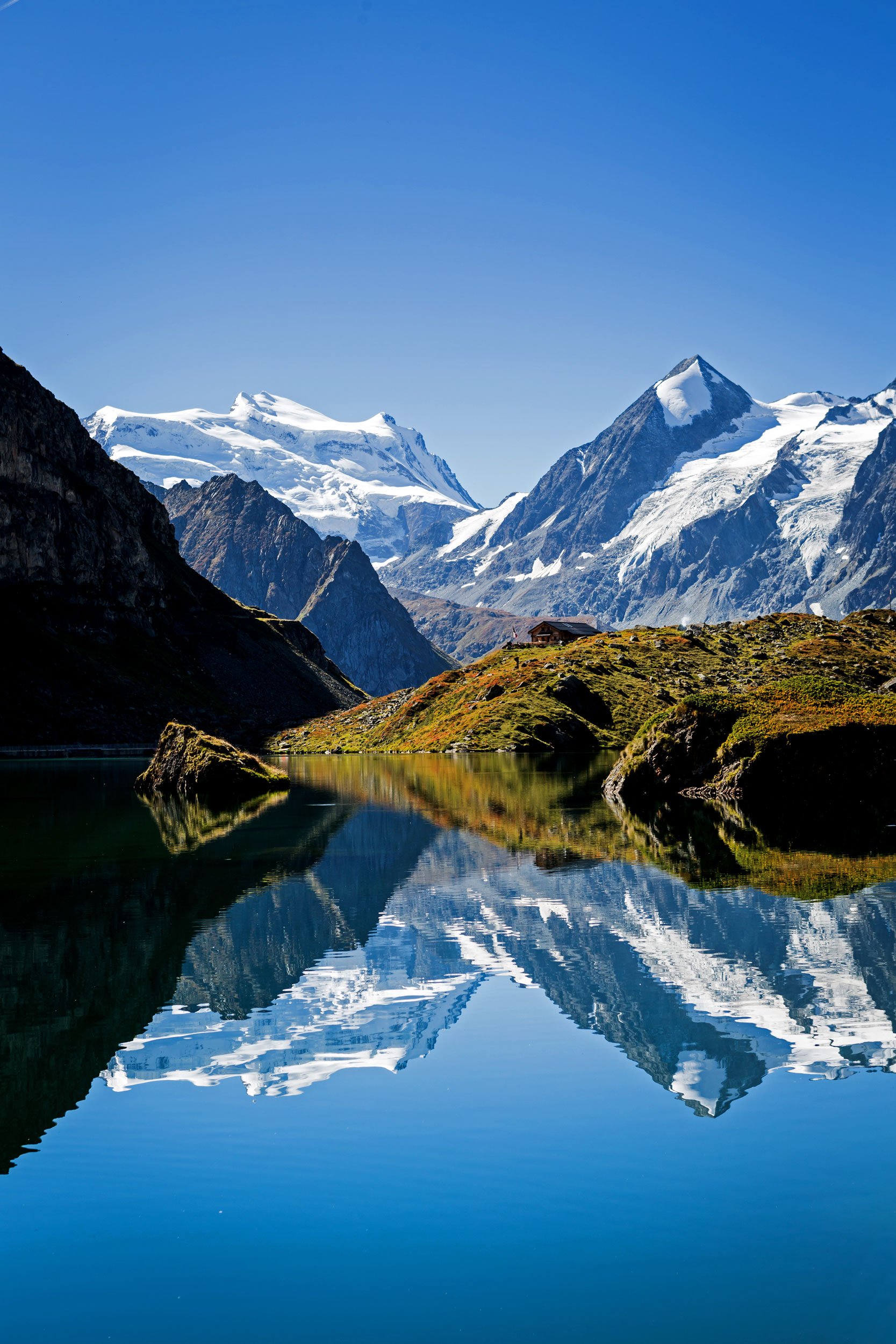
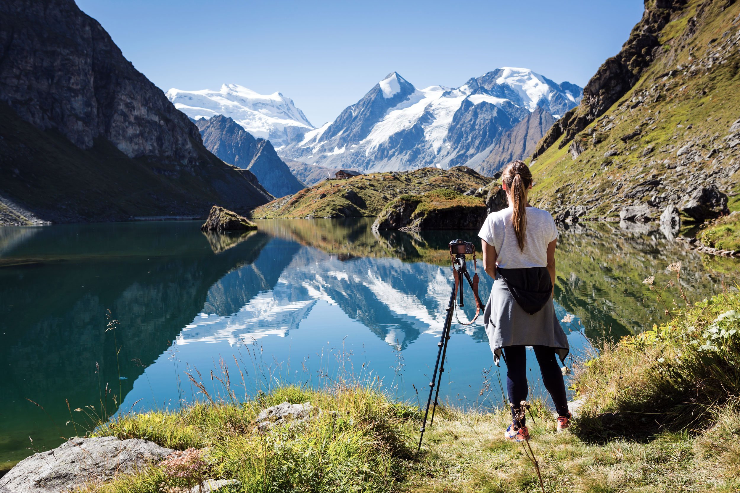
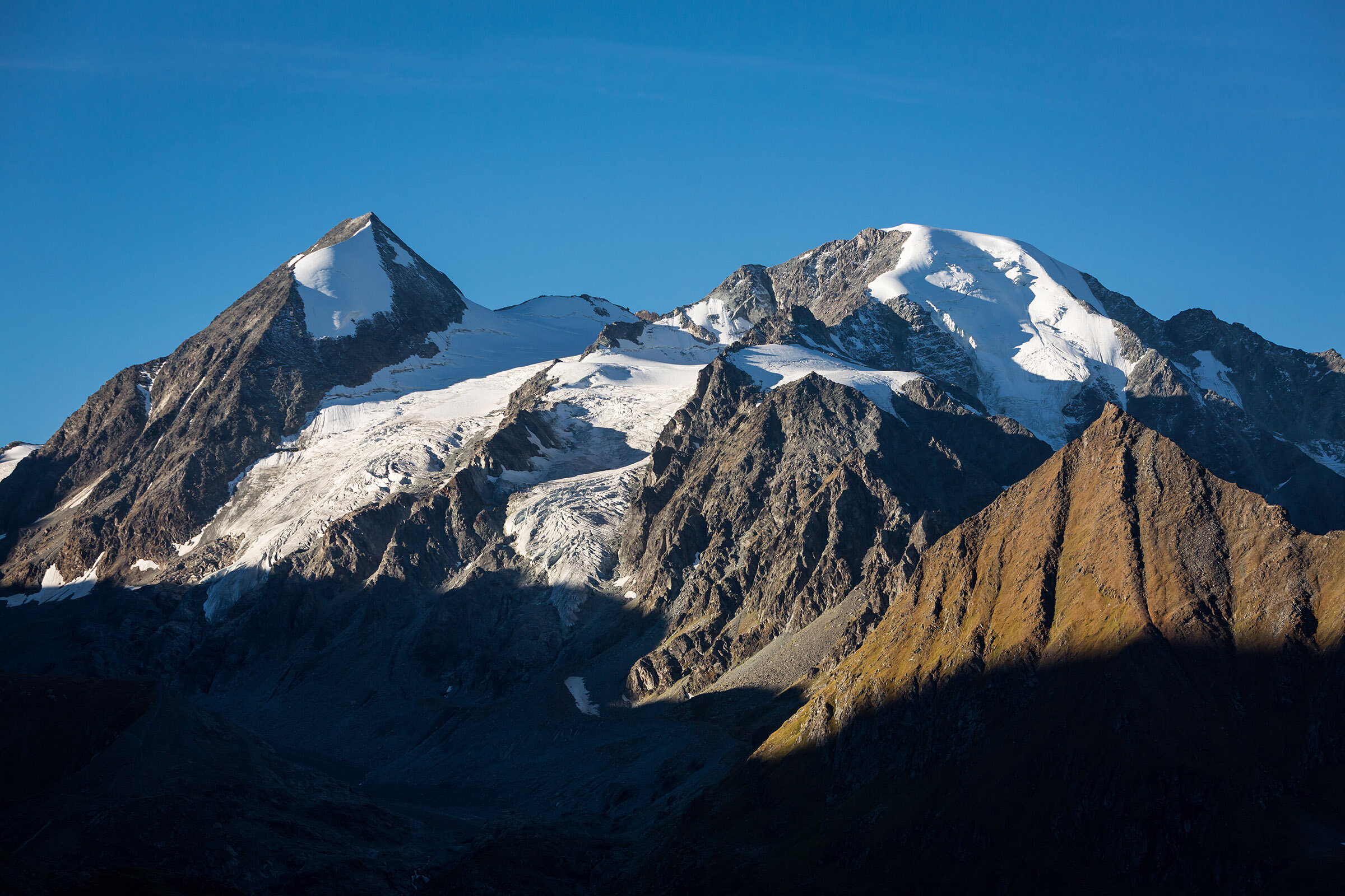
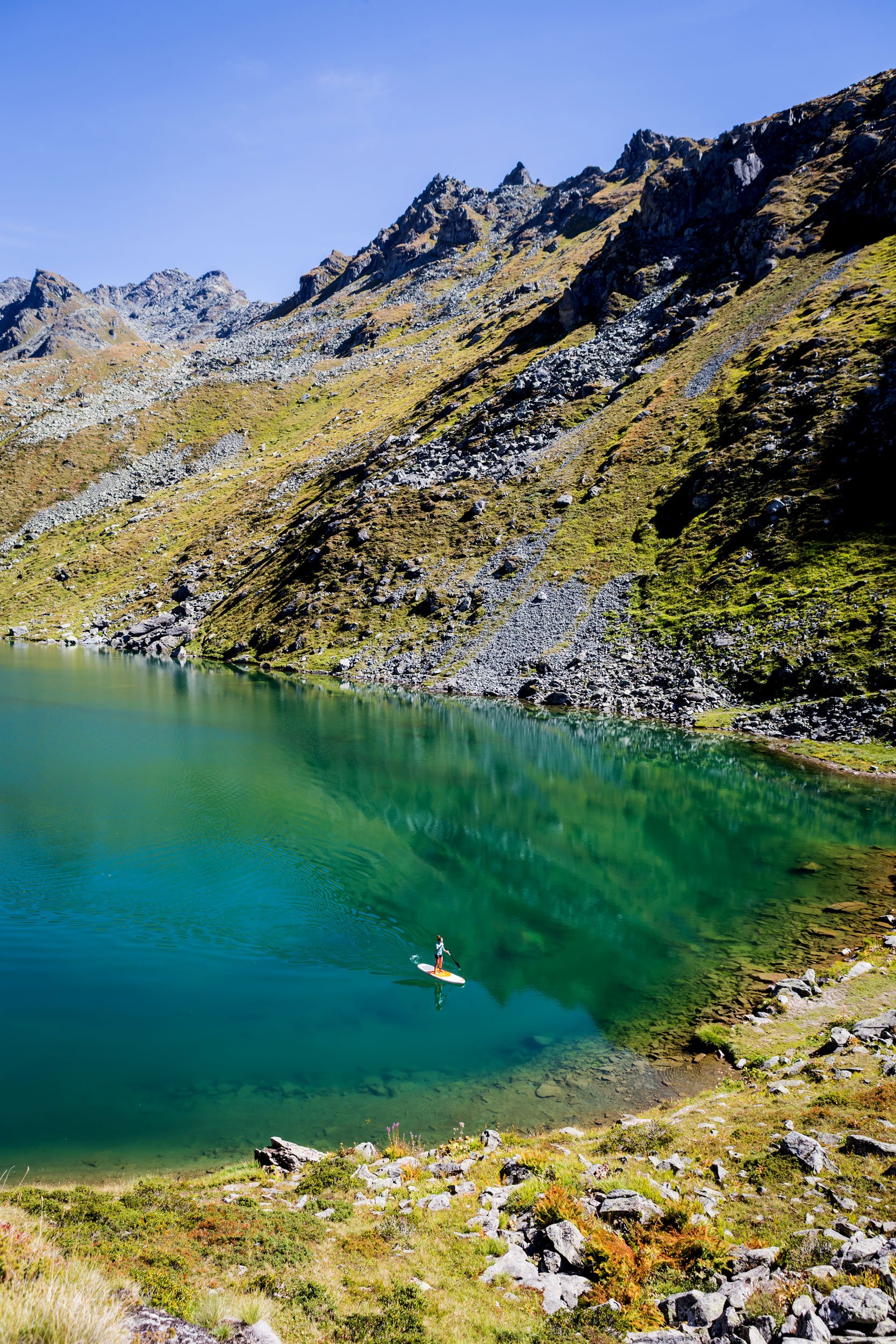
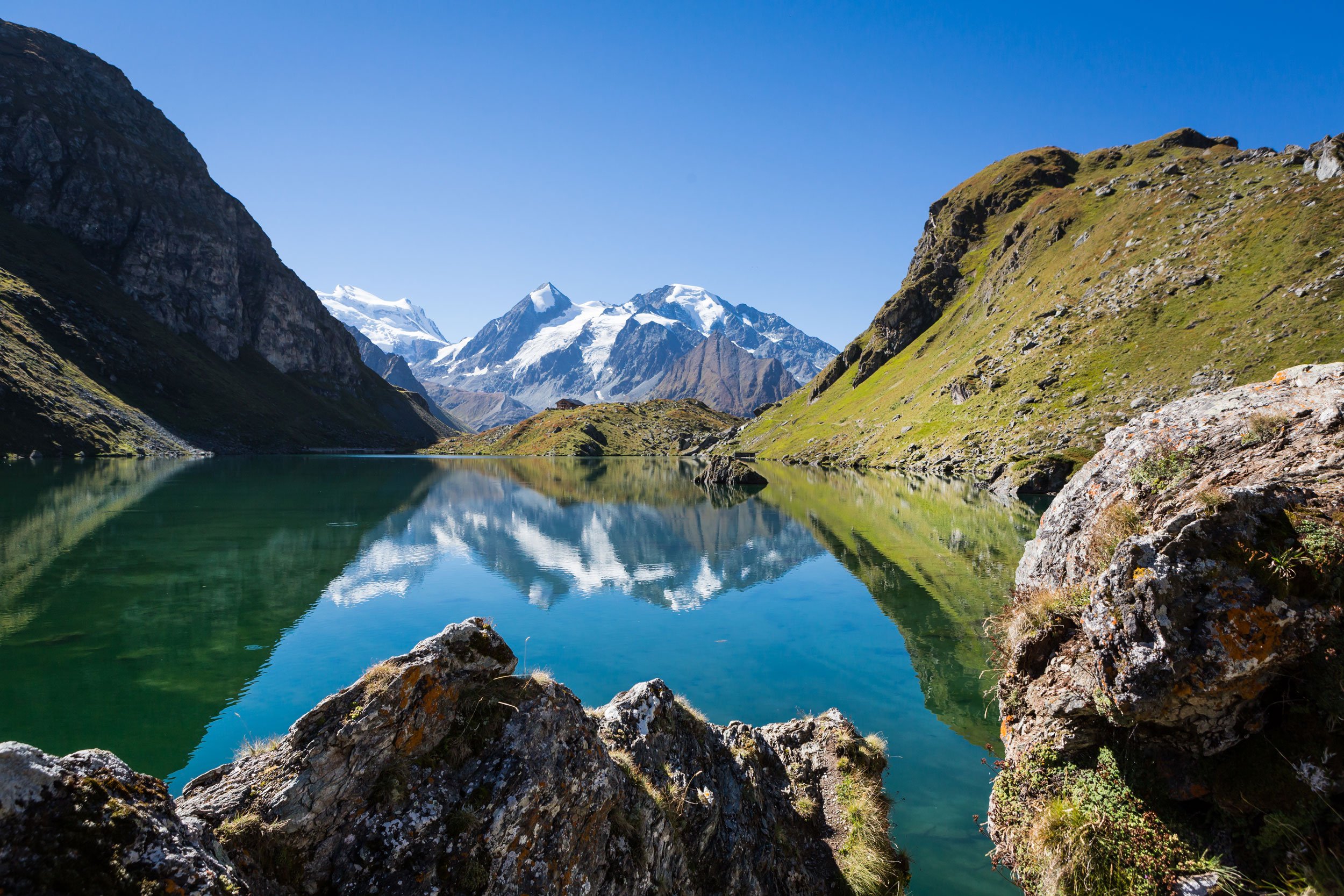
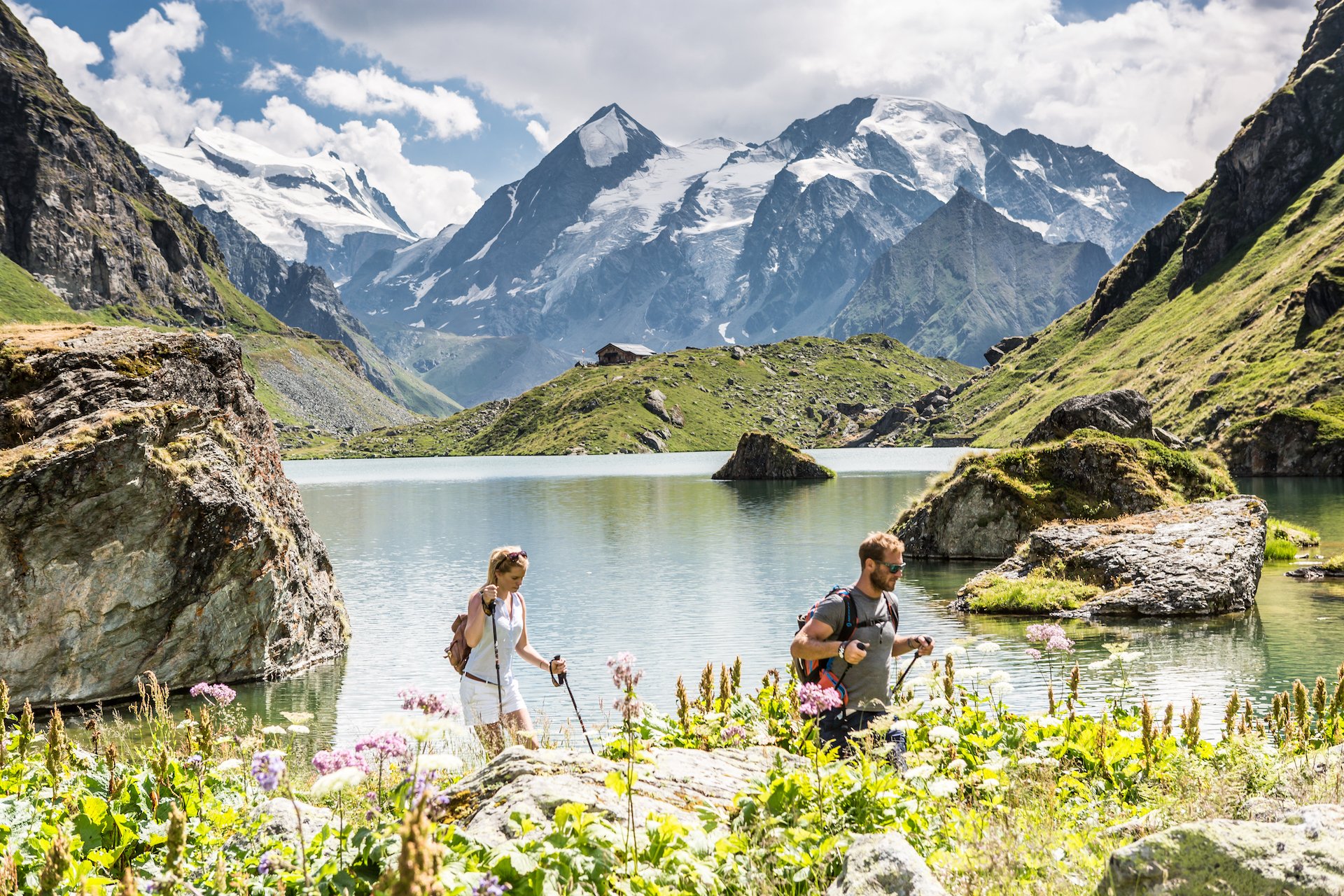
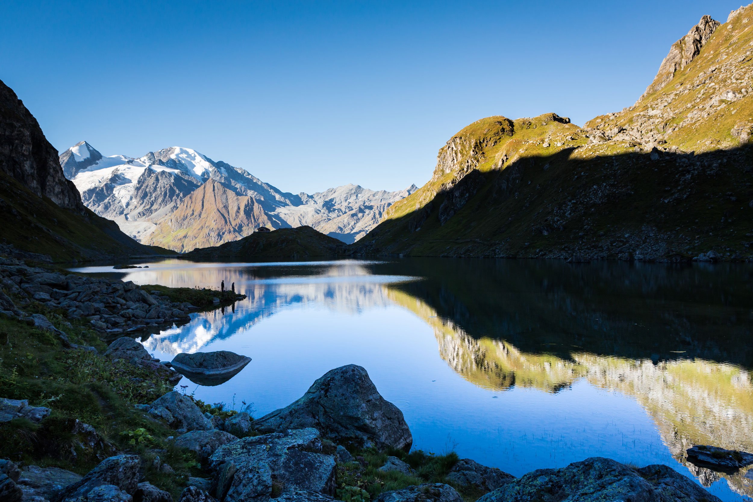
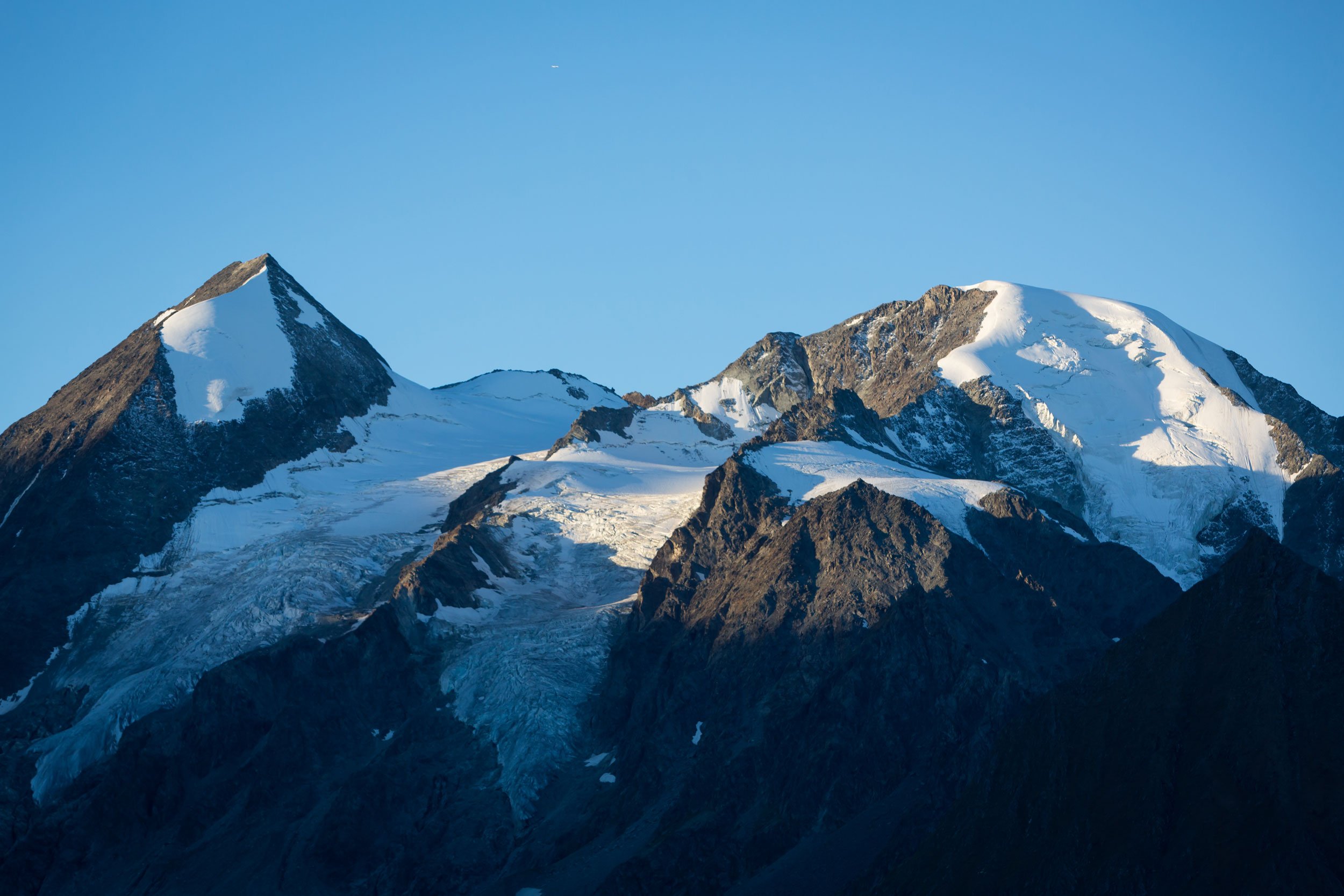
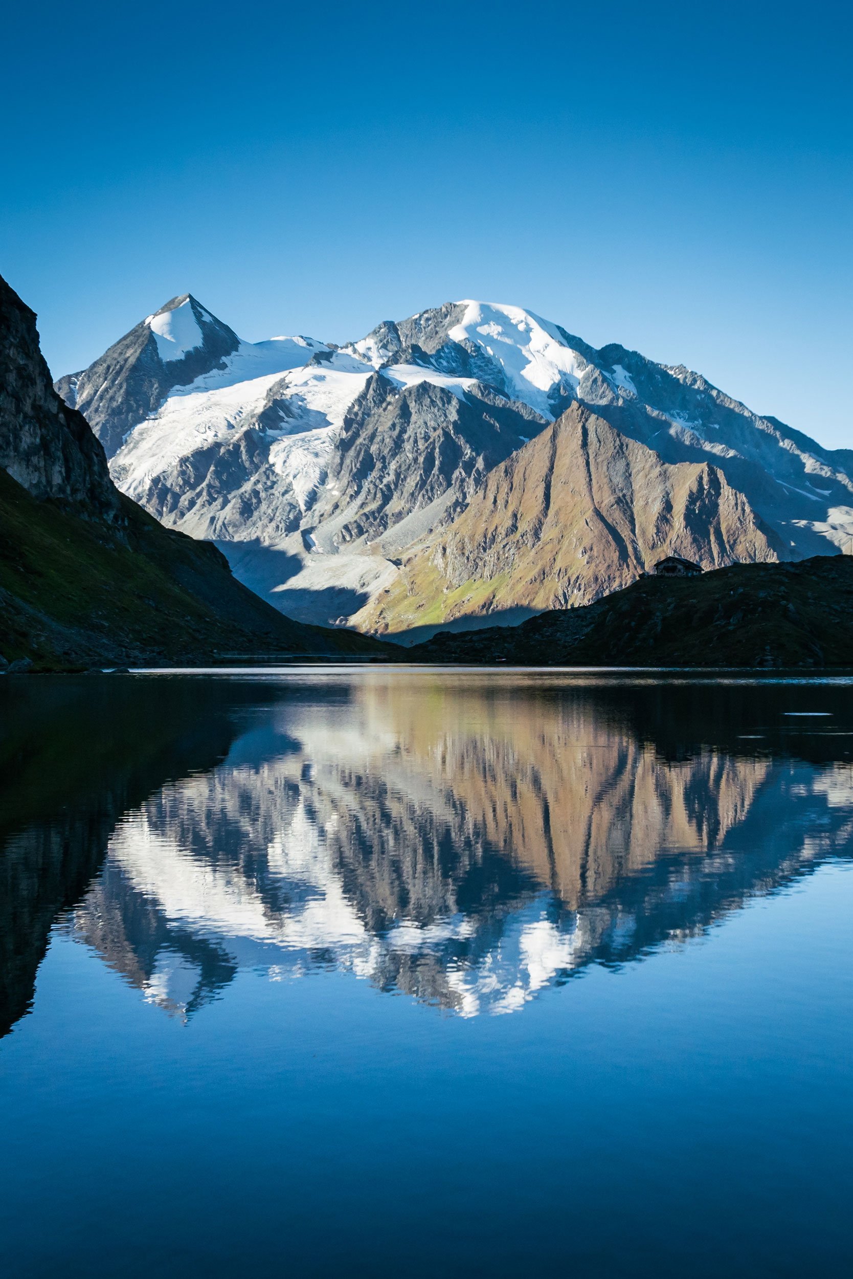
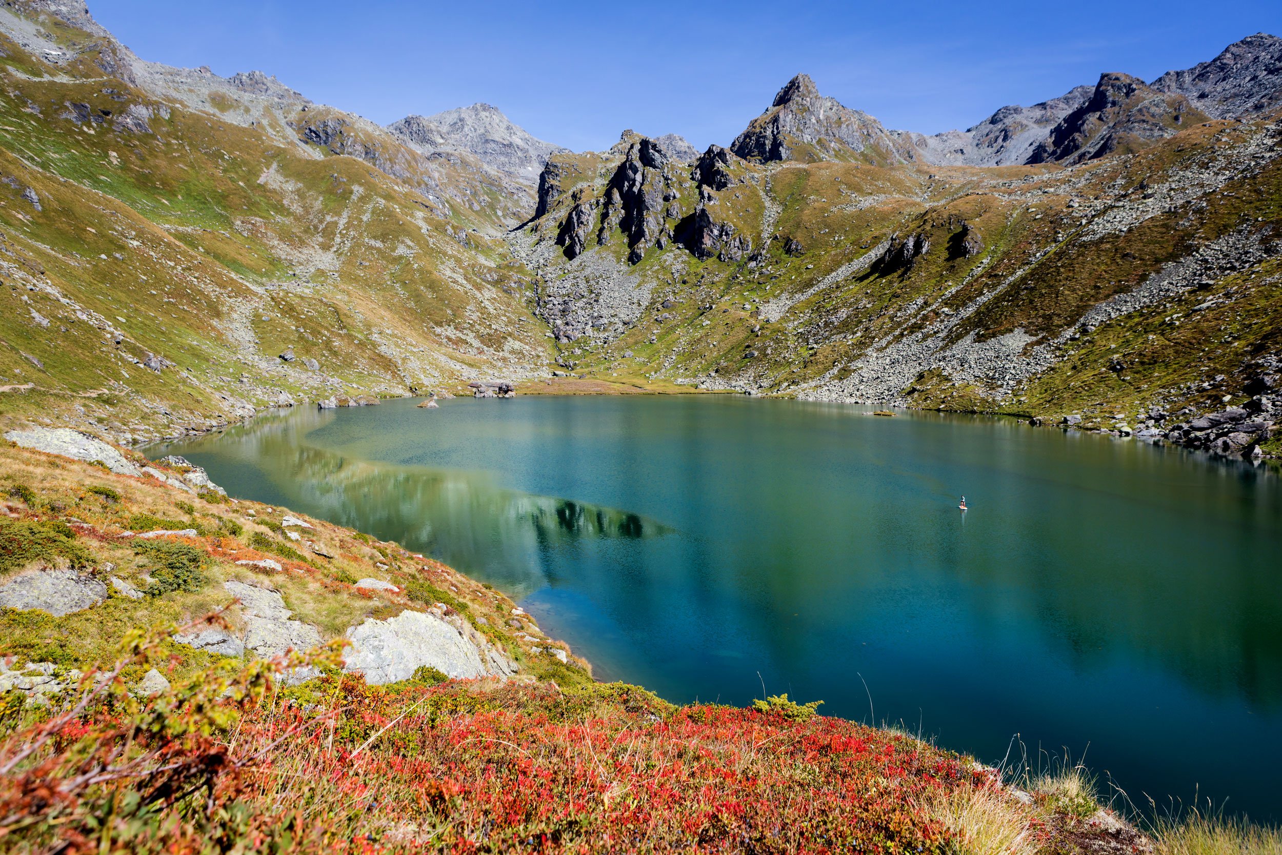
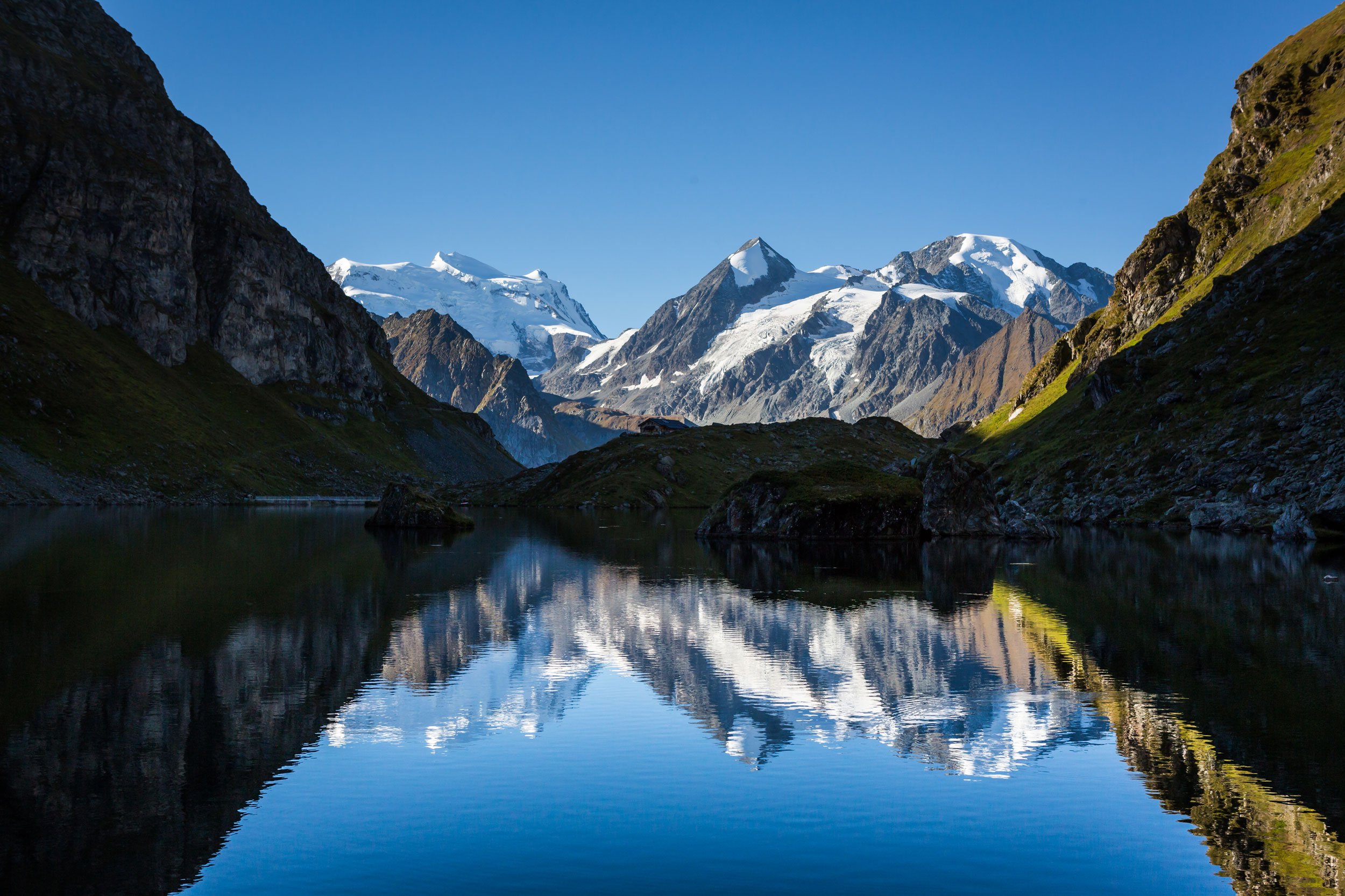
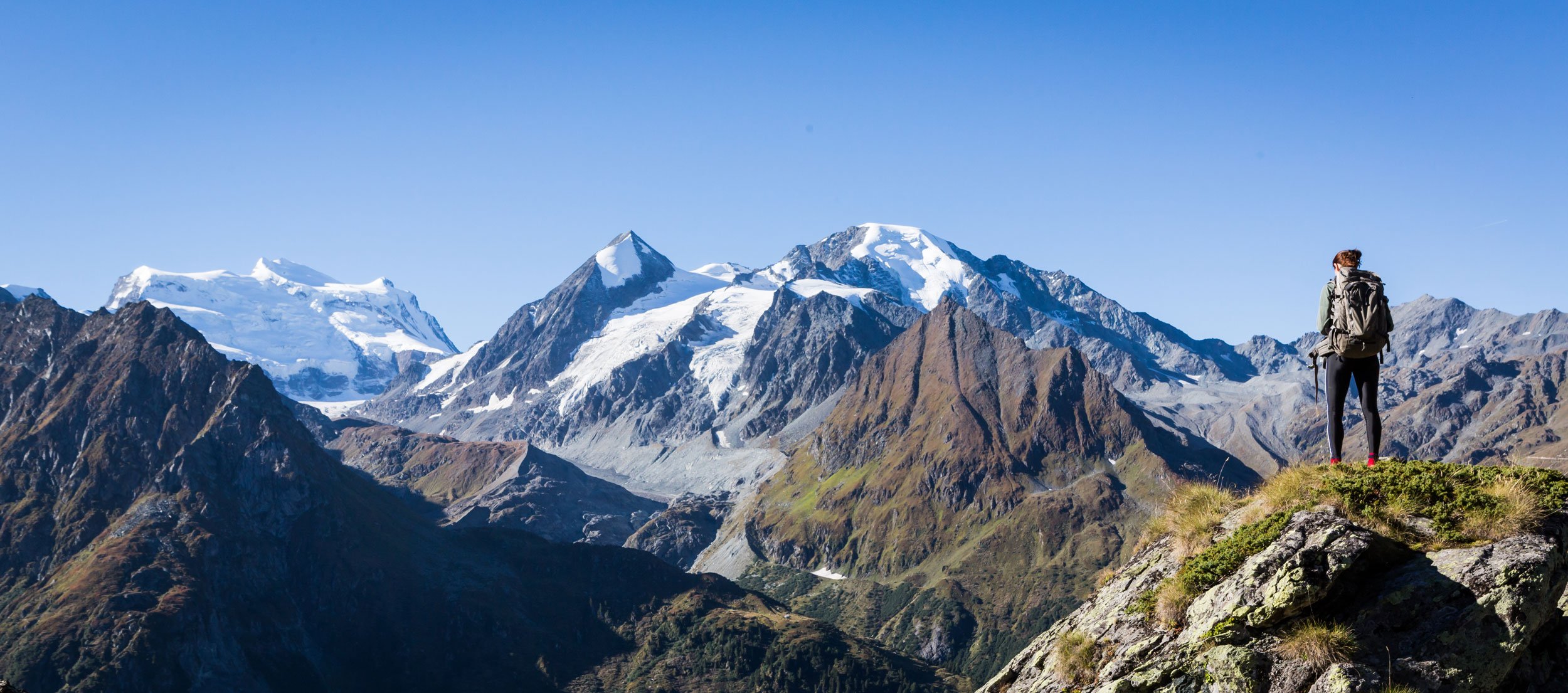
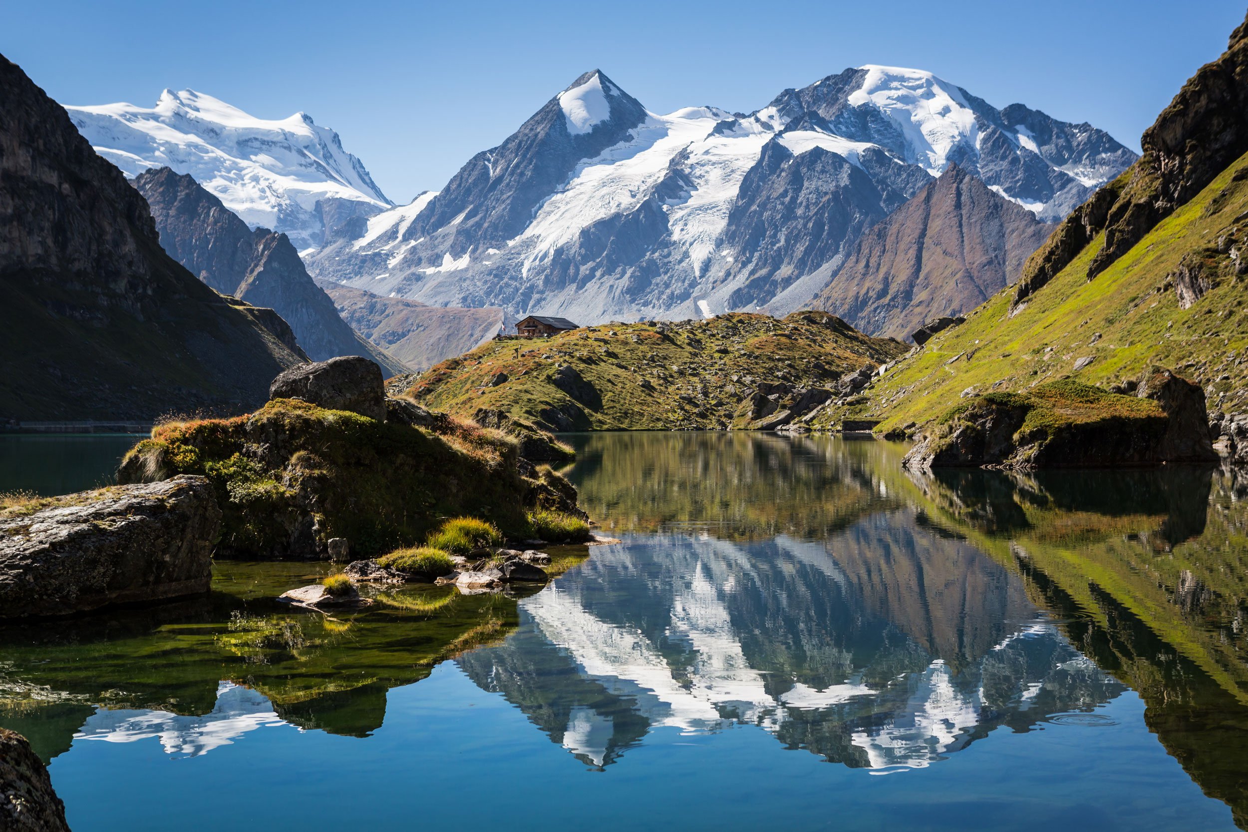
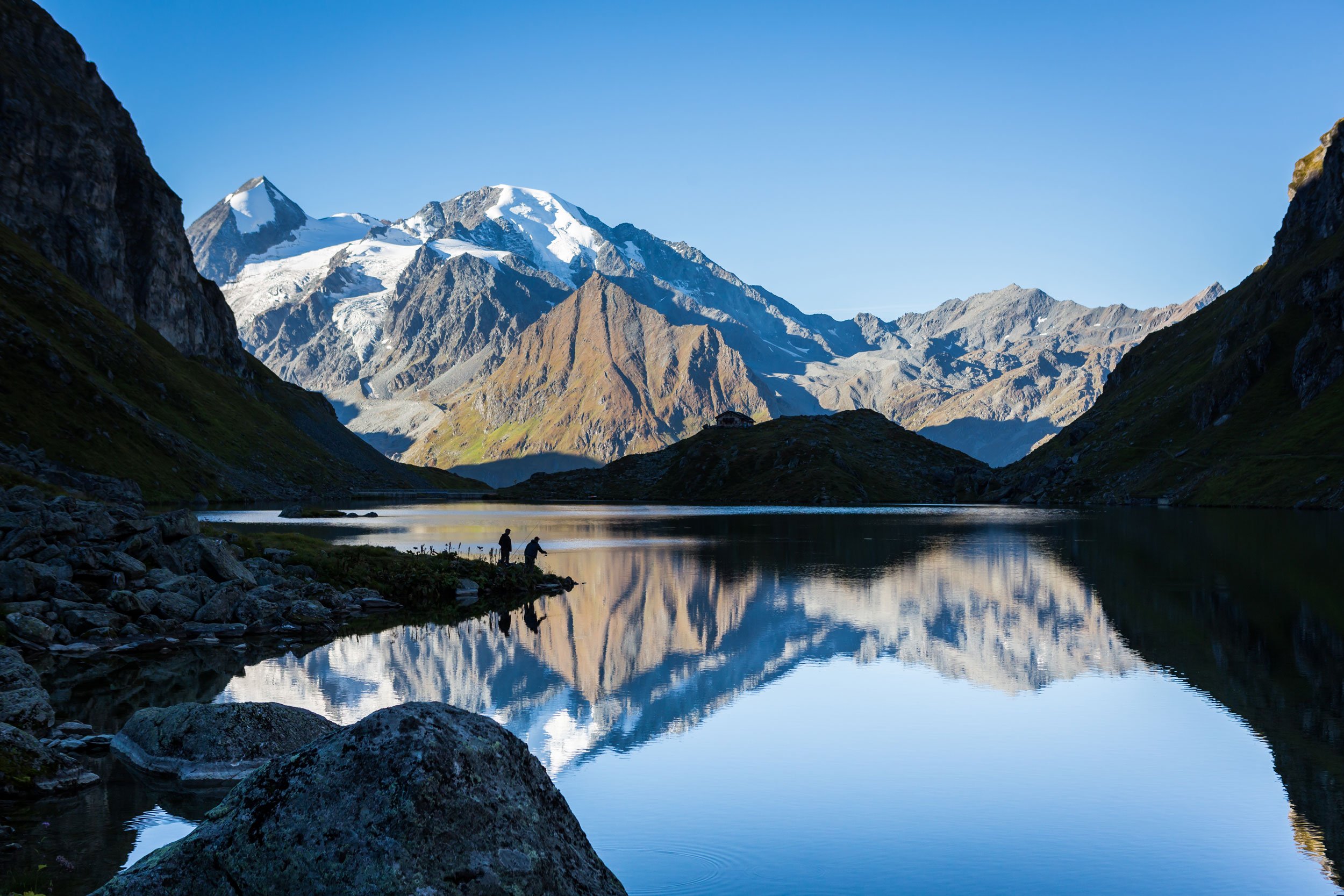
Lac de Louvie is one of my favourite hikes in the Val de Bagnes in Switzerland. The lake is located at an altitude of about 2,213m (7,260 feet) and it is surrounded by a rugged mountain landscape and the summer ice and snow on Grand Combin and Petit Combin creates a dramatic and stunning glacial backdrop. I would say the best time to hike to Lac de Louvie is the warmest months July-September when the ice has fully thawed and the water in the lake is a vibrant turquoise colour, which contrasts beautifully with the green alpine meadows and grey rocky peaks surrounding it.
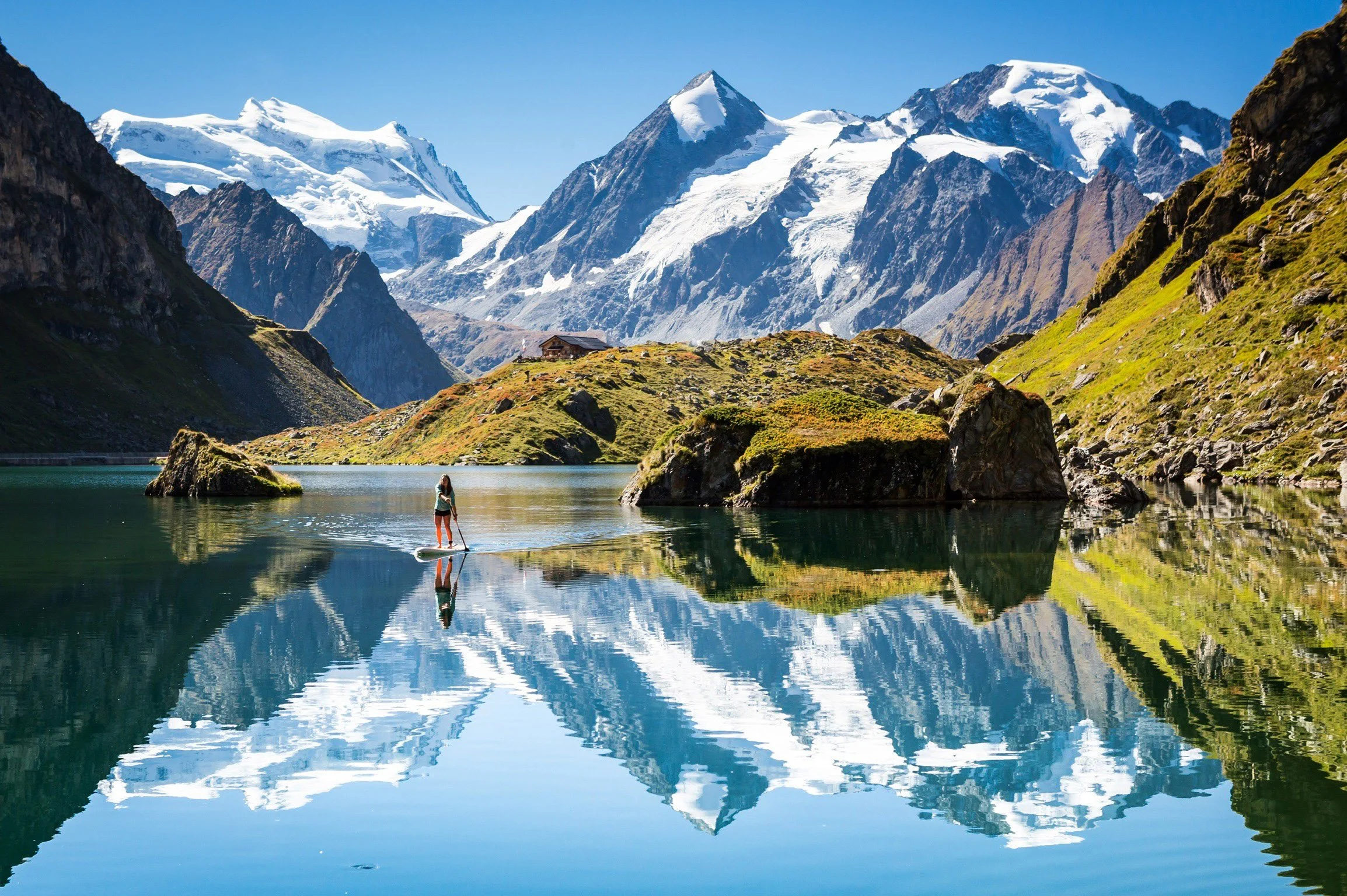
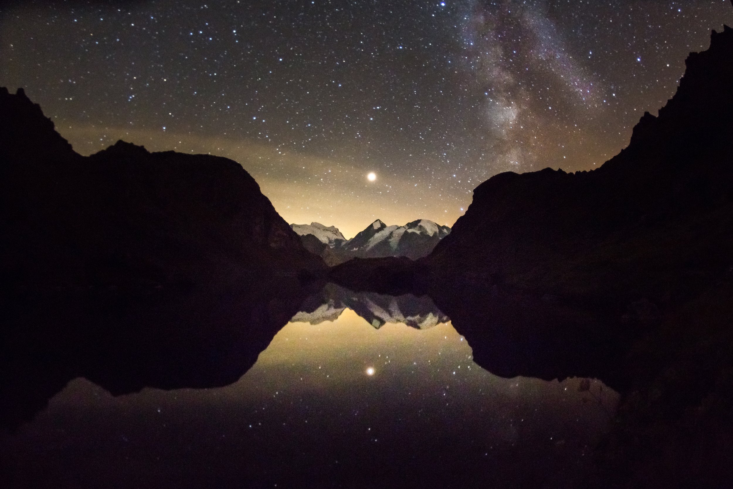
These are usually the routes I take, and I’ll go into them in more detail below. One of the unique features of Lac de Louvie is the Cabane de de Louvie which is perched above the lake with the most amazing view. Hikers can take a rest, grab a meal or even spend the night. I really like to spend the night up there and shoot the Milky Way over the Grand and Petit Combin reflected in the lake, or even get up early enough to capture the sunrise and if the wind speed is low enough, capture the still water with the mountain peaks reflected in the lake.
There are few ways to access the lake, but the two I predominantly take are the following:
Route 1: Fionnay > Lac de Louvie loop - 7.8km - Approx 4-4.5hrs
This route is a steep climb and not for the faint hearted especially if you have a fear of heights. But it is impressive scenery and slightly shorter/quicker if you have less time. I find it a tough climb when I have all of my camera equipment on my back, but it’s always worth it.
Distance: 7.8 km return
Highest point: 2,250m (Cabane de Louvie)
Height gain: 777 m↑↓
Difficulty: Fairly steep climb with some steep drop offs. There are chains to hold on to in one section
Route 2: Ruinettes > La Chaux > Lac de Louvie > Fionnay - 14.9km - Approx 5.5-6hrs
Distance: 14.9 km
Highest point: 2,648m (Col Termin)
Height gain: 777 m↑ 1485↓
Difficulty: Fairly steep climb with some steep drop offs. There are chains to hold on to in one section
You can also loop back on route 2 as well of course. From Fionnay there is a small bus that takes you back round to le Chable and then you can get the lift back up to Verbier if you are staying there.
I would highly recommended starting the hike early in the day, so you can make the most of the daylight and avoid afternoon thunderstorms which can occasionally occur in the Alps during summer.
Remember, no matter when you hike, it's essential to have the right equipment and to stay safe. Even in the summer, the weather can change quickly in the mountains, so be prepared with warm and waterproof clothing, adequate food and water, and a good map or GPS device.
Lastly, always respect the environment and wildlife by staying on the trail, packing all trash, and following any local regulations or guidelines.
Verbier Tourism have a great map with all of the walking routes that you can download for free here. And Verbier4Vallees have everything from lift access to bus times here.